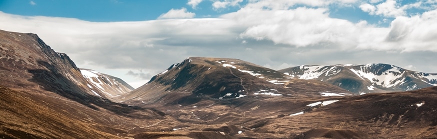
The path to Mayar begins at the ranger station in the beautiful Glen Doll at the head of Glen Clova. It proceeds through the Glen Doll pine forest passing the beginning of Jocks Road which runs over the White Mounth to Loch Callater and Braemar. It then reaches the magnificent Corrie Fee. This is a hidden Scottish gem which everyone should endeavour to visit. The path ascends the back wall of the corrie next to a waterfall before emerging onto the plateau where it becomes an easy walk to the summit of Mayar. The views from the top are superb, giving mountainous terrain to the north and west, with the likes of Lochnagar and Glas Maol visible; and on clear days you can see all the way out to sea over the farmland of Angus. The common day walk is to then continue to the next Munro, Driesh, and then descend via the Shank of Drumfollow to the valley.
| Project | Classification | Status | Start Gridref | End Gridref |
|---|---|---|---|---|
| TMTP | upland | Available to Sponsor | NO 2579775380 | NO2407873746 |

Click on a thumbnail below to view the enlargement:
-

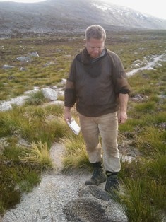
- Upland Access Ltd trialling Light Touch/Plateau techniques on the Cairngorm Plateau.

-

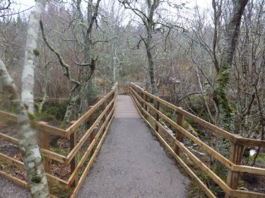
- The new bridge now in place.

-

- Pupils from Deshar Primary School, Boat of Garten, try out the new platform.